
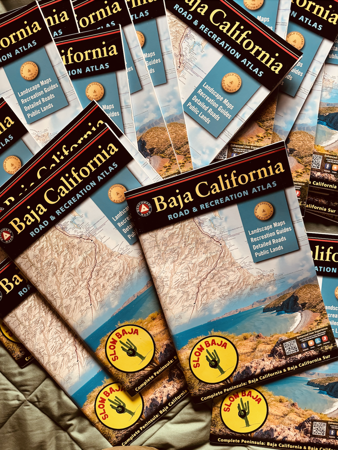


Baja California Road & Recreation Atlas by Benchmark Maps
The 2nd edition of the Baja California Road & Recreation Atlas showcases the diverse recreational opportunities along the Baja California Peninsula. It includes maps for Baja California and Baja California Sur, as well as regional maps for a broader view.
The Landscape Maps™ provide detailed information about the peninsula’s rugged terrain, including land cover data and a comprehensive road network to help navigate between cities and remote destinations.
Key features include:
- Large-scale maps with detailed road classifications and elevation data
- Kilometer markers on major highways
- Clear legibility and map overlap
- Recreational Guides for National Parks and Wildlife Areas
- Medium-scale regional maps
- Focused maps for La Paz, Los Cabos, and Valle de Guadalupe
Recreational categories include parks, beaches, historic sites, and campgrounds. #papermaps #essentialbajagear #slowbajaapproved
Large format 15.35" (W) x 11.02" (H) 72 Pages